
MapInfo
-
DeveloperPitney Bowes Software Inc. (MapInfo)
-
PlatformWindows
-
Supported Formats13
-
Rating3.3 (24 votes)
Informations about MapInfo
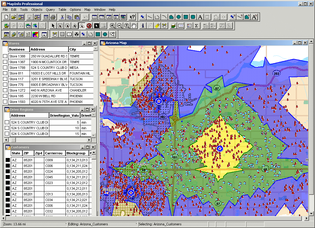
MapInfo – with this program, users can create, manage and update spatial data. MapInfo enables also building advanced systems of spatial information, as well as analysis and visualisation of data contained within maps. The most important tools provided by the program are: image tracing, geocoding, generating analysis, spatial query, and also editing data and objects placed within a map and visualising them in form of halftone images. MapInfo supports many formats and numerous types of databases.
More info about MapInfoFile Extensions supported by MapInfo
You can use the MapInfo to convert the files:
In view of the fact that the MapInfo is in our database as a program to support or convert various file extensions, you will find here a MapInfo download link. Get the software from the MapInfo developer website. Before you will download the program, make sure that you not have application MapInfo on your device installed yet - this will allow you to save some space on your disk.
We do not store any files with the setup of the MapInfo on our server but help to find the most reliable source from where you can download the application from. By clicking on the button "More info about MapInfo" you should be directed to the official website of the MapInfo developer where you can download the application.
File Extension of the day

PIZ is not a separate file format but more a form of hidden file extension. PIZ is just a ZIP file whose extension name was reversed. This is a sim...